
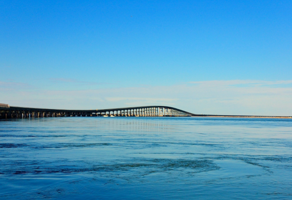
Imagine standing on a North Carolina beach, looking out across the Atlantic, with no idea that the sand beneath your feet was once the bottom of a navigable inlet. It may sound unlikely, but along our coast, waterways have opened, closed, and shifted over time. Some have moved hundreds of feet in a single year, while others have disappeared altogether.
Inlets are the gateways between the Atlantic Ocean and the sounds, rivers, and estuaries behind our barrier islands. Twice each day, tidal currents move water through these openings, carrying sediments, nutrients, and marine organisms between coastal habitats. They provide important pathways for fish and other aquatic life, support navigation, and help shape the beaches and marshes surrounding them.
But unlike the fixed boundaries we see on maps, inlets are constantly changing. Waves move sand along the shoreline, while tidal currents work to maintain channels between the islands. Storms can reshape these openings dramatically, sometimes creating entirely new passages or closing old ones. Over time, an inlet may migrate along the coast, widen or narrow, or shift back and forth around a relatively stable location.
North Carolina offers some remarkable examples. New Topsail Inlet has migrated southward for decades, historically averaging about 90 feet per year. Farther south, Tubbs Inlet, between Sunset Beach and Ocean Isle Beach, nearly tripled in width between 2013 and 2014.
A video from NC Sea Grant showing how Tubbs Inlet changed from 1938-2018.
Not all inlets begin the same way. Some, including Ocracoke and Bogue Inlets, developed along ancient river channels as sea level rose thousands of years ago. Others were created by storms, including Oregon Inlet, which opened when a powerful hurricane cut through the Outer Banks in 1846. Carolina Beach Inlet was created in 1952 by excavating a channel through the barrier island, separating what is now Masonboro Island from Carolina Beach.
And what about those inlets that disappeared? Mad Inlet, Old Topsail Inlet, and New Inlet are among those that have closed, leaving stretches of uninterrupted beach where ocean waters once flowed between the islands. The National Park Service reports that as many as 30 inlets have opened and closed along the Cape Hatteras National Seashore over the past 400 years.
North Carolina Sea Grant’s Shifting Shorelines: A Pictorial Atlas of North Carolina Inlets documented 22 tidal inlets along our coast, although that number is hardly permanent. Using historical aerial photographs and online resources, including Google Earth Timelapse, the atlas offers a fascinating look at how these waterways have changed over time. It’s one thing to read about shifting inlets, but quite another to watch the coastline transform before your eyes.
These changes are more than geographic curiosities. The same forces that shape our inlets also affect navigation, nearby shorelines, and coastal communities, sometimes with significant consequences.
When the Coastline Moves, We Respond
Anyone who has navigated a North Carolina inlet knows the changing nature of these waterways. Channels shift, shoals develop, and a passage that was easily navigable one season may become considerably more challenging the next. The same natural forces that make inlets so fascinating can also make them difficult and expensive to manage.
Navigation is only part of the challenge. As inlets migrate or their channels change direction, nearby beaches can erode substantially or accumulate new sand. These changes can threaten homes, roads, and other infrastructure, particularly where development is concentrated near the ends of barrier islands. And because sand moves throughout the inlet system, a change in one location can influence conditions elsewhere.
Mason Inlet, between Wrightsville Beach and Figure Eight Island, provides one of North Carolina’s most dramatic examples. The inlet was migrating southward at an estimated 365 feet per year before being relocated in 2002. The project involved excavating a new channel farther north and closing the old opening, an extraordinary engineering response to the threat posed by a moving inlet.
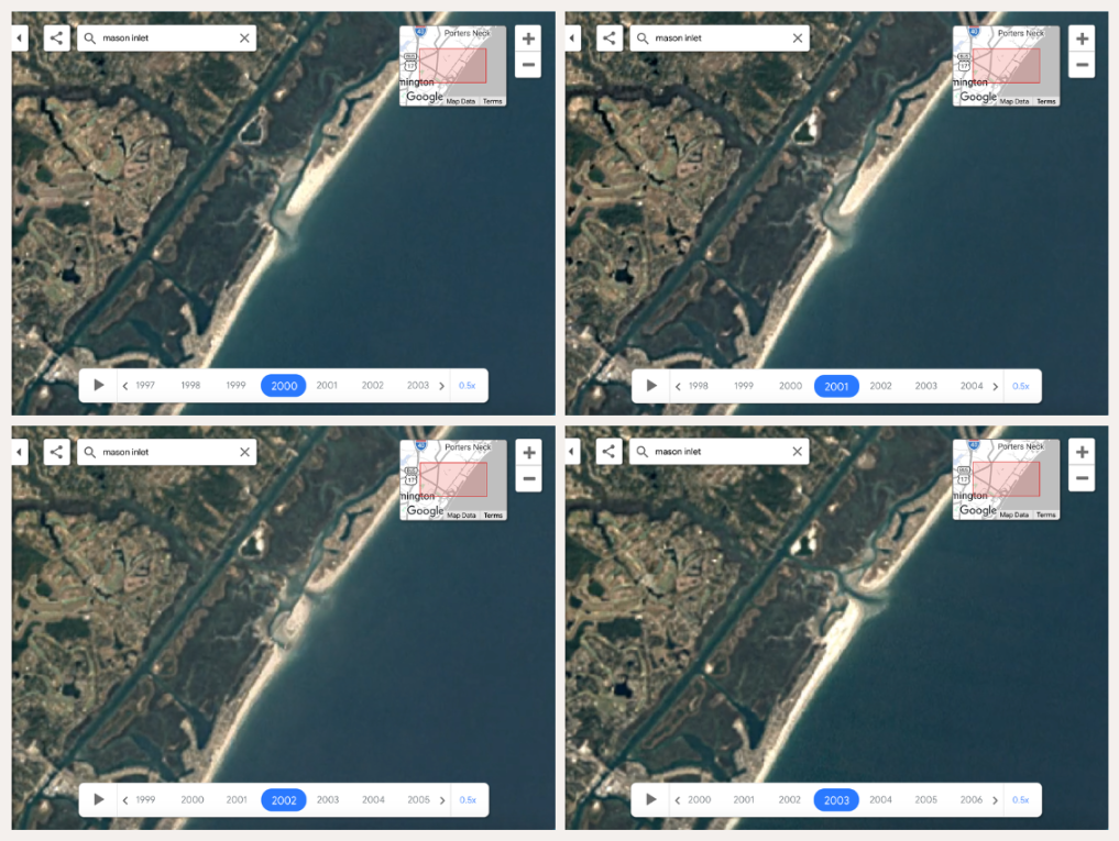
From Google Earth Timelapse: Mason Inlet from 2000-2003, showing the relocation of the inlet farther north.
Along the northern Outer Banks, Oregon Inlet presents a different challenge. It remains an essential passage for commercial and recreational fishing vessels, yet shifting shoals and changing channels require constant attention. Federal dredging operations, supplemented by Dare County’s dredge Miss Katie, help maintain navigation through this important waterway.
Other inlets along our coast receive similar attention through dredging, channel maintenance, or beach nourishment. These activities can improve navigation and address shoreline concerns, but they also interact with the natural movement of sand. Understanding those relationships is essential when evaluating management options. The North Carolina Coastal Resources Commission’s Science Panel on Coastal Hazards helps inform these decisions by studying shoreline changes and providing recommendations to state coastal managers.
Not all inlets move in the same way either. Some gradually migrate along the coast as waves deposit sand on one side and currents erode the other. Others shift in the opposite direction, or suddenly change position when a storm cuts a new channel through a growing sand spit. Still others hold their position while their navigation channels shift across underwater sandbars.
These patterns help explain why managing an inlet is rarely as simple as keeping a channel open. The forces at work differ from one inlet to the next, and moving sand can change conditions well beyond the inlet itself. Understanding how these waterways behave is part of learning to live with a coastline that has never stood still.